OPAL — FARM MANAGEMENT FOR THE FIELD
SEE YOUR FIELDS FROM SPACE. ACT ON THE GROUND.
WHAT IS OPAL?
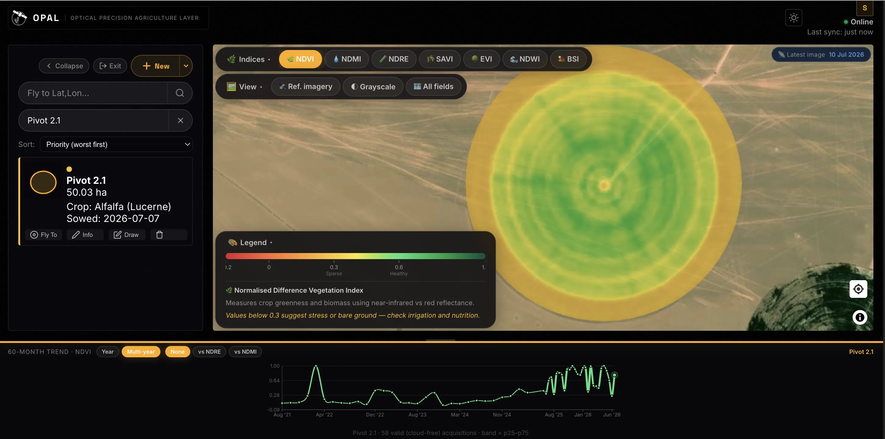
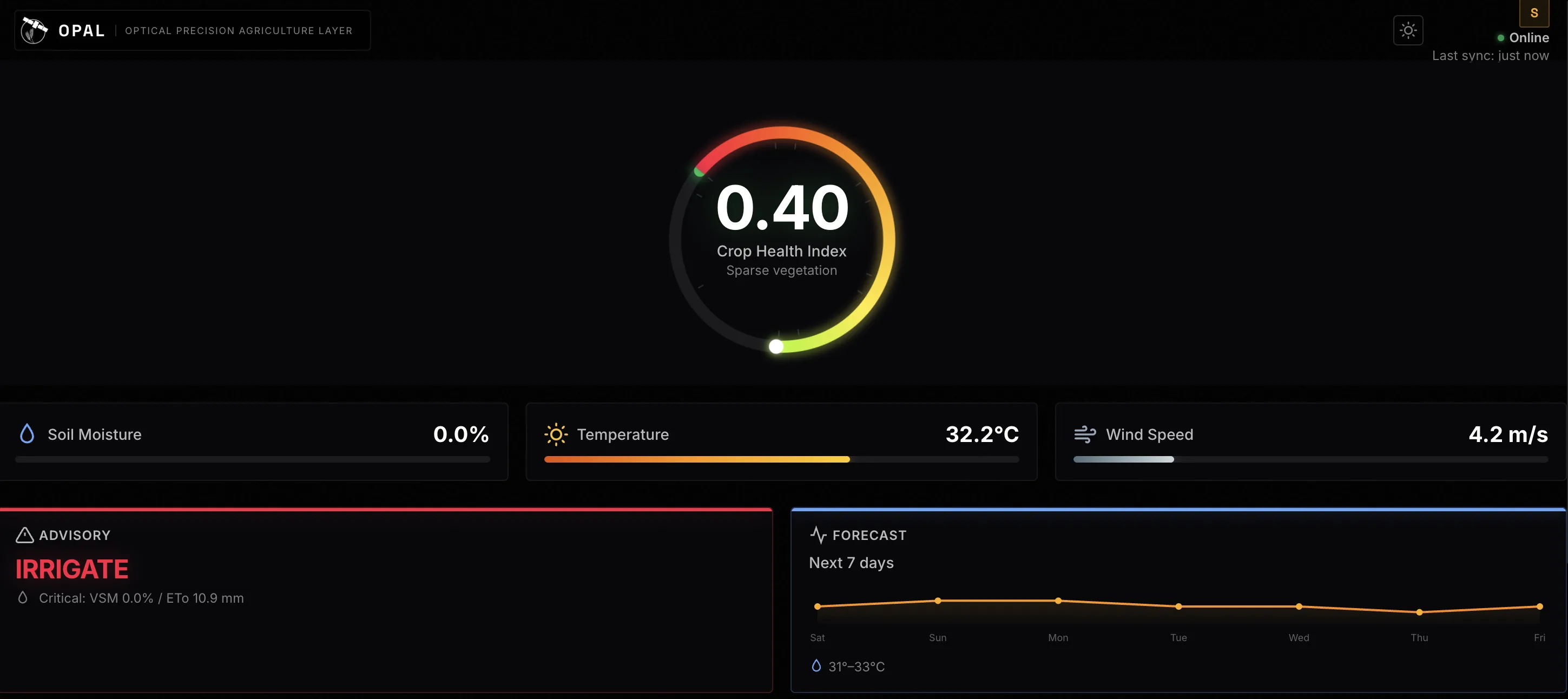
OPAL brings crop health, soil moisture, irrigation timing, and grazing pressure into one place — so a developing problem tends to show up while there is still time to do something about it.
WHO IT'S FOR
Farmers, agronomists, co-operatives, and land managers who want clear, affordable field information without needing specialist satellite knowledge.
WHY IT MATTERS
Catch crop stress before it is visible from the gate. Water when the field actually needs it, rather than on a fixed schedule. Check any field from your phone, even with no signal — so fewer problems are found late, and fewer trips are wasted.